Baker Way
The Baker Way is a 13 mile (21 km) long-distance footpath through Cheshire, running from Chester railway station to Delamere railway station. It presents a pleasant and fairly easy walk with waterside, countryside and woodland sections to enjoy.
Pack horse bridge at Hockenhull Platts on the Baker Way
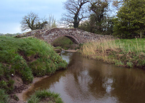
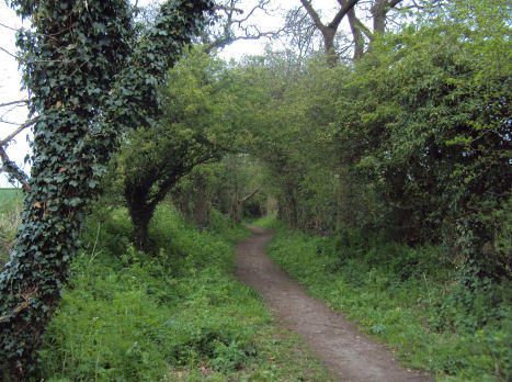
The Baker Way leaves the historic city of Chester along the Shropshire Union Canal until reaching Christleton, where it then heads off to Brown Heath. The route passes straight through Tarvin, following the ancient packhorse route over Hockenhull Platts.
The ancient packhorse route at Hockenhull Platts
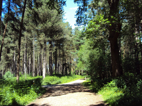
The trail leads on to the edge of beautiful Delamere Forest, passing by Fox Howl, the Forest's education centre, joining up with the Sandstone Trail for several hundred metres. The route then meanders through the forest to its end point at Delamere railway station.
Delamere Forest
Because the footpath starts and ends at railway stations, many people choose to park at one station, walk along the footpath to the opposite station and use the train to travel back again.
Ordnance Survey Explorer Maps 266 and 267.