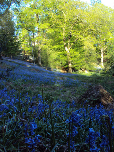
Bollin Valley
The River Bollin is 49km in length running from the hills surrounding Macclesfield Forest, meandering northwards through Prestbury, Wilmslow and Bowdon, to where it joins the Manchester Ship Canal at Bollin Point near Lymm.
The main source of the River Bollin is on Toot Hill in the Hamlet of Forest Chapel on the edge of Macclesfield Forest.
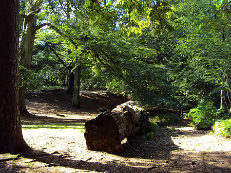
The Bollin Valley Way is a 25 mile (40 km) recreational path shadowing the course of the River Bollin. The route starts at Macclesfield Riverside Park and finishes in Partington. It takes in fields and woodlands, towns and villages, passes around Manchester Airport and ends up in the industrial area near the Manchester Ship Canal.

The Way acts as a spine to the valley linking many local places of interest in one walking route. Sections of the Bollin Valley Way can also be incorporated into shorter circular walks.
Follow the Country Code
*Be safe- plan ahead and follow any signs.
Protect plants and animals and take your litter home.
Keep dogs under close control
Leave gates and property as you found them