The Delamere Way
The Delamere Way is a long-distance footpath which runs for 21 miles (34 km) from the Cheshire town of Frodsham to Stockton Heath in Warrington.
The route starts at the Bridgewater Canal bridge, opposite the London Bridge pub on the A49 at Stockton Heath. The way continues to the village of Hatton passing through the Walton Hall Golf Club and leads on to the locks on the River Weaver at Dutton.
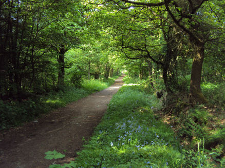
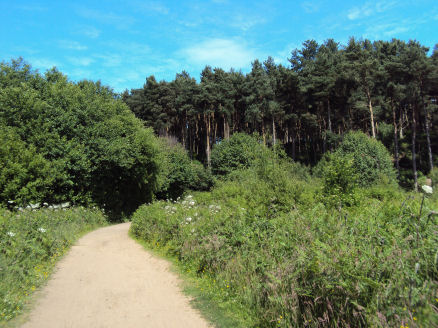
It enters Delamere Forest and meanders through the forest, passing the reclaimed wetland area of Blakemere Moss and briefly follows part of the Sandstone Trail which it then intersects further on. Upon leaving the forest the path continues on its way to Frodsham by way of Manley and Frodsham golf course, once again joining the Sandstone Trail close to the Bellemonte pub.
The path finishes on Church Street, close to twelfth century St Laurence's Church in Frodsham.
Ordnance Survey Explorer Maps 267 and 276.