Derbyshire Bridge
OS Grid ref:- SK017715
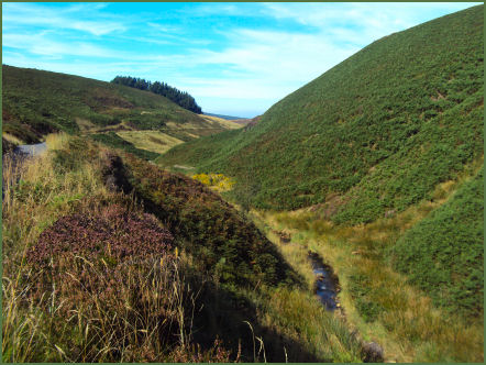
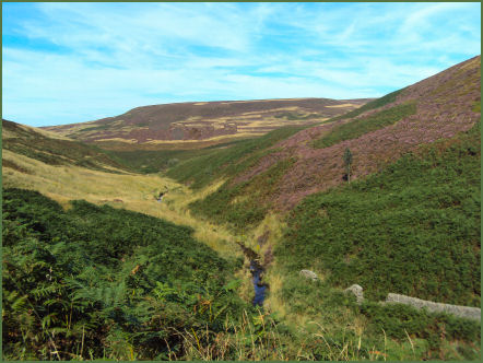
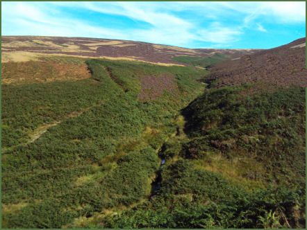
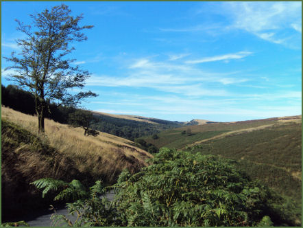
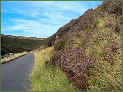
Derbyshire Bridge at the head of the Goyt Valley derives its name from the fact that it was once the boundary between the counties of Cheshire and Derbyshire. The area has a car park and picnic site and offers some stunning scenery and fine walks across the moors. It is particularly attractive in late summer when the moors are awash with heather. Birds often sighted in the area include short eared owls, red grouse, golden plover, ring ouzel, kestrels, grey wagtails and curlew.
Derbyshire Bridge is accessed from the A537 Macclesfield to Buxton Road near the Cat & Fiddle Inn, the second highest pub in England. It is not possible to drive any further down the Goyt Valley from this point as a one way system is in operation.
A walk from Derbyshire Bridge
Distance around 4 miles
*Commencing at the Derbyshire Bridge pay and display car park, take the track leading from the car park which ascends to Burbage Edge.
* Continue along the track until reaching a track on your left descending to Berry Clough.
*After continuing along this track for around a mile you will arrive at a narrow road which follows the course of the infant River Goyt.
*Follow this road as it winds up the hill to return to to the car park.