Peak Forest Canal
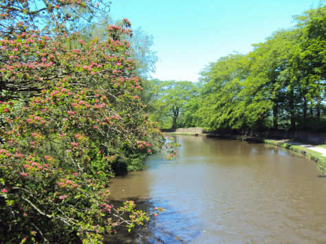
The Peak Forest Canal, one of Cheshire's most scenic waterways, runs for 15 miles between Ashton under Lyne, east of Manchester, and Whaley Bridge in Derbyshire. The lower Peak Forest Canal forms part of the Cheshire Ring, linking the Macclesfield Canal with the Ashton Canal.
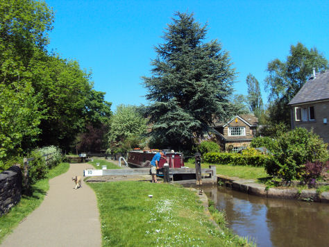
The Lower Peak Forest Canal runs for 7 miles, commencing at Dukinfield Junction and heads south crossing the River Goyt on the Marple Aqueduct, to reach Marple Locks, which raisies the canal through 209 feet (64 m) to reach the centre of Marple, where it connects with the Macclesfield Canal at Marple junction.
Locks on the canal at Marple
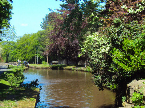
The Upper Peak Forest Canal runs for 6 miles and is on the same level as that of the upper Macclesfield Canal, allowing boats to cruise from Whaley Bridge or Bugsworth all the way to the top lock at Bosley without having to use a lock. The canal is perched half way up the valley-side with extensive views of Furness Vale, and the Peak District beyond. It ends at Bugsworth Basin, in Derbyshire, one of the best-preserved canal-tramway interchanges.
The construction of the canal and tramway was promoted by Samuel Oldknow with much of the finance being provided by Richard Arkwright Junior. The upper level of the canal and tramway was opened on the 31 August 1796With the coming of the railways, use of the canal began to decline, leading to its closure in the 1920s. In the late 1960s and early 1970s, the Peak Forest Canal Society, and Inland Waterways Association campaigned for the restoration of the Peak Forest leading to it being reopened on 1 April 1974.