The Ribble Way
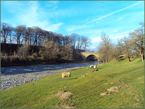
The Ribble Way is a waymarked 73 mile (117km) long distance trail which follows the course of the River Ribble, from its mouth at Longton, on the salt marshes of the estuary, along the beautiful Ribble Valley to its source at Gayle Moor near Ribblehead, in the Yorkshire Dales National Park.
The footpath traverses the counties of Lancashire and North Yorkshire and is divided into 7 sections each approximately 10 miles long.
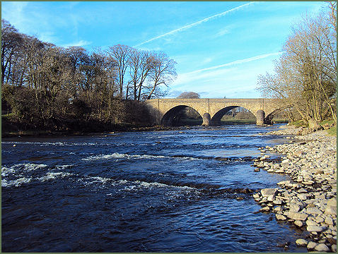
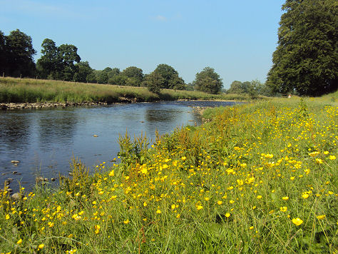
The route passes through a variety of landscapes including tidal marsh, open moorland and limestone gorges. It commences at the Brickcroft Nature Reserve in Longton, to the south of the Ribble estuary, the route then runs through Preston and on to the town of Clitheroe, before reaching the attractive village of Gisburn. It then heads up into the Pennine Hils to finish at the river's source on remote Cam Fell in Yorkshire.
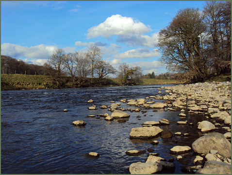
The Ribble Valle is steeped in history, with evidence of Roman roads, Roman remains at Ribchester and the ancient abbeys of Sawley and Whalley, historic medieval halls, numerous landmarks from the industrial revolution and picturesque villages, many of which have been incorporated into the route.