The Sett Valley Trail
The Sett Valley Trail is a short, 2.5-mile (4.0 km) cycleway, bridleway and footpath which links the characterful Peak District village of Hayfield and the small town of New Mills via Birch Vale.
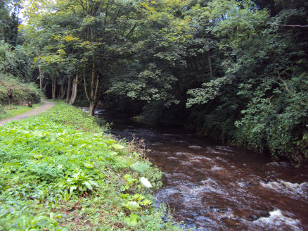
Passing through some stunning Peak District scenery, the trail runs along the lower valley of the River Sett and follows the course of a former railway line which linked Hayfield with Manchester via New Mills, the line closed in 1970. The station buildings at Hayfield were demolished in 1975, to be replaced by an information centre, picnic area, car park and toilets on the site.
The Millenium Walkway at the Torrs, New Mills
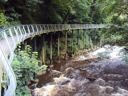
The trail can be accessed at New Mills at the dramatic Torrs Riverside Park and to Mousley Bottom via the Millennium Walkway which winds its way for 125 yards through the gorge, over weirs and waterfalls, high above the river. The Hayfield Countryside Centre is situated at the eastern end of the trail. West of St Georges Road, New Mills, the route is unsuitable for horse riders and cyclists.
The Pennine Bridleway follows the section of the Trail between Hayfield and Birch Vale.
Map- OS Explorer 1:25 000 series, sheet OL1, The Dark Peak map.