Thorpe Cloud
OS grid reference SK151510
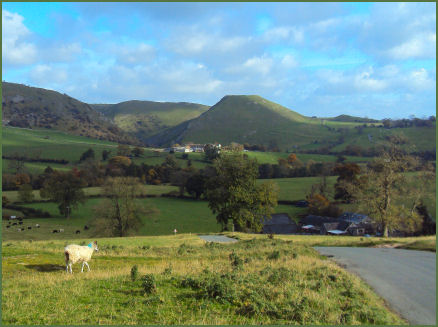
Thorpe Cloud rises to a height of 287 metres (942 feet), situated between the villages of Thorpe and Ilam, it stands sentinel with Bunster Hill at either side of the entrance to Dovedale in the White Peak area of the Peak District.
Thorpe Cloud seen from Dovedale
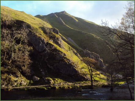
Thorpe Cloud is an isolated conical limestone hill of the kind known as a reef knoll. It provides a viewpoint north up the dale and south across the Midlands plain. In common with much of Dovedale, including Bunster Hill, it is in the ownership of the National Trust. The name Cloud is a derivation of the Anglo-Saxon word "clud", meaning meaning a mass of rock, Thorpe is an Anglo-Saxon word for a hamlet or small village, deriving from Old Norse þorp.
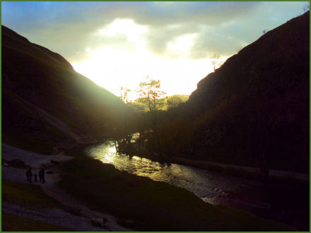
Thorpe Cloud seen from Ilam and early evening light over Thorpe Cloud
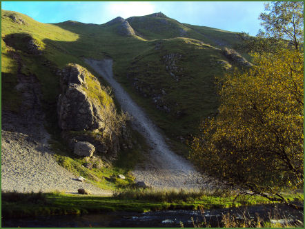
The limestone rock that forms parts of Dovedale is composed of the fossilised remains of sea creatures that lived in a shallow sea during the Carboniferous period, about 350 million years ago. During the two ice ages, the limestone was cut into craggy shapes known as reef limestone by the melting ice.
Thorpe Cloud is a poular and relatively easy climb, due to erosion, the National Trust prefer to direct visitors up particular routes. The easiest ascent is from Thorpe village along the ridge on the eastern side of the hill.
A walk to the summit of Thorpe Cloud
Distance- 1 mile
*Commencing from the car park at Thorpe, follow the well marked route into Dovedale.
*Just beyond the famous Dovedales stepping stones, the track heads over rocky steps before reaching a more defined path as you gain height.
*More rocky steps lead to the summit ridge with its impressive views over Dovedale, to the north St Peter's church at Alstonefield is visible. To the west, Ilam Hall and park.
*Retrace your steps to return to the car park at Thorpe.